The HYDROTHERM computer program simulates multi-phase ground-water flow and associated thermal energy transport in three dimensions. It can handle high fluid pressures, up to 1 x 10 9 Pa (10 4 atm), and high temperatures, up to 1,200 °C. This...
Derive 1D or 2D shear wave velocity structure using ambient noise and/or active source from surface waves recorded using standard refraction, P-wave geophones and recording equipment.
TOUGH2 offers the flexibility to handle different fluid mixtures, the properties of which are described in separate Equation-of-State (EOS) modules. TOUGH2 uses an integral finite difference method for space discretization, and first-order fully imp...
The Rayfract® Seismic Refraction Tomography software allows reliable imaging of subsurface velocity structure. Our tomographic data interpretation is based on physically meaningful modeling of wave propagation with wave paths instead of conventional...
Derive subsurface velocity structure from 2D, surface acquired seismic data. Using an nonlinear optimization scheme (Simulated Annealing) to derive velocity information from first-arrival picks.
iTOUGH2 (inverse TOUGH2) is a computer program that provides inverse modeling capabilities for the TOUGH codes. iTOUGH2 solves the inverse problem by automatically calibrating a TOUGH2 model (or any other model) against observed data. Essentially an...
Zond - software package was developed for near surface geophisics. Zond includes seismic, electromagnetic, gravity and magnetic interpretation modules.
Shallow seismic data processing and interpretation software package used in environmental and engineering geophysics. It includes Front End, Reflector, Refractor, Surface, and SF Imager. Front End is used in seismic data preprocessing; while Reflecto...
2-D resistivity tomography in electrical imaging survey. Resistivity tomography software to process and interpret resistivity data in 2-D electrical imaging survey.It supports Wenner Alpha, Wenner Beta, Wenner Gamma, Dipole Dipole, Pole Dipole, Pole...
DIANA (Displacement Analyzer) is an extensive multi-purpose finite element software package with dedicated features for geotechnical engineering. The program provides a wide range of state-of-the-art constitutive models for tackling soil a...
Input data: SAF, Seg2 and ASCII recording. Processing methods: theoretical spectrum by Arai e Tokimatsu (2004); processing of surface waves by propagator matrix method [Thomson(1950) and Haskell (1953), reformulated by Dunkin (1965)...
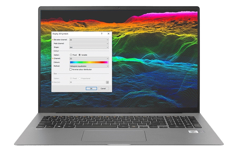
Process big data with ease View, QA/QC, transform, and analyse all raw data – geology, geochemistry, and geophysics – with powerful 2D and 3D modelling capabilities. &nbs...
PROGRAM GEO'S ANNUAL LICENSE. What’s the Program Geo's annual license? It is a license which allows the Customer to use for a whole year, since its activation and without limits, our software package, including all the programs li...
MacRay is a general purpose two-dimensional seismic ray-tracer for Macintosh. Originally written to trace rays through 2-dimensional p-wave models, MacRay has grown to support 2-d models defined in Vp, Vs and density. In addition to being able to mod...
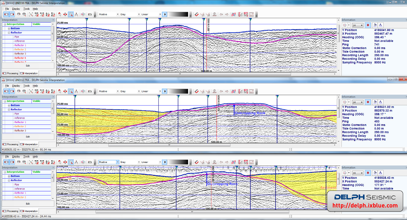
DELPH Seismic is the most advanced and complete acquisition, processing and interpretation software package in the industry. It provides geologists and geophysicists with an easy access to ALL data collected from shallow seismic systems and sub-botto...