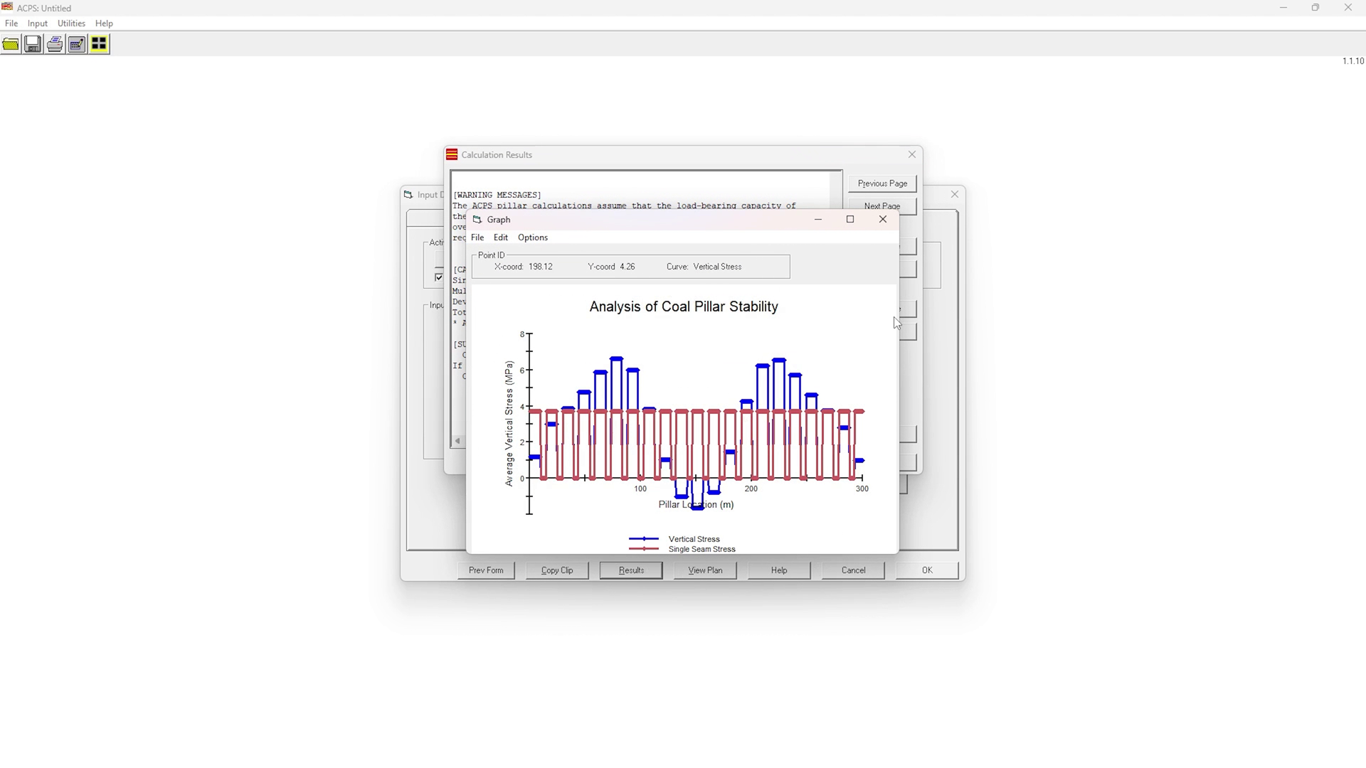
The Analysis of Coal Pillar Stability (ACPS) incorporates the latest research findings in the field of pillar design, including an expanded multiple seam case history data base and a new method to evaluate room and pillar panels containing multiple r...
GTS NX is finite element analysis software for advanced geotechnical analysis of soil and rock deformation and stability, as well as groundwater flow, dynamic vibrations and soil-structure interaction in 2D and 3D.GTS NX is used for analysis, testing...
RocSupport is an easy-to-use software tool for estimating deformation in circular or near circular excavations in weak rock and visualization of the tunnel interaction with various support systems. Given the tunnel radius, in-situ stress conditions,...
DIANA (Displacement Analyzer) is an extensive multi-purpose finite element software package with dedicated features for geotechnical engineering. The program provides a wide range of state-of-the-art constitutive models for tackling soil a...
RocFall3 is a state-of-the-art software tool for 3-dimensional analysis of slopes at risk of rockfalls. Building off the tools and functions found in RocFall2 (formerly RocFall) and harnessing the same powerful 3D features established in Slide3 and R...
Combine geometries and analyses in a single project GeoStudio enables you to combine analyses using different products into a single modeling project, using the results from one as the starting point for another. Multiple geometries, including...
Tools for mining engineers to design, evaluate and maintain daily underground mine operations.Maptek VulcanVulcan Underground Mine Planning BundlesVulcan MineModeller UndergroundVulcan MineModeller Underground provides the tools for mine engineers to...
GEOVIA Surpac™ is the world’s most popular geology and mine planning software, supporting open pit and underground operations and exploration projects in more than 120 countries. The software delivers efficiency and accuracy through ease-of-use, powe...
IRAZU IS A VERSATILE 2D/3D FINITE-DISCRETE ELEMENT SOFTWARE PACKAGE FOR THE ANALYSIS OF LARGE DEFORMATIONS, FRACTURING, AND STABILITY IN ROCK MASSES. The integration of various multiphysics solvers and advanced features into a single software packag...
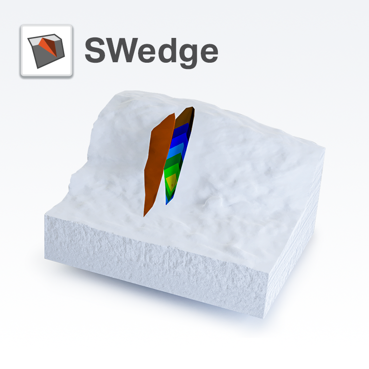
SWedge is a quick, interactive and simple-to-use analysis tool for evaluating the geometry and stability of surface wedges in rock slopes. Wedges are defined by two intersecting discontinuity planes, the slope surface and an optional tension crack....
RocPlane is an interactive software tool for performing planar rock slope stability analysis and design. RocPlane makes it easy to quickly create planar models, visualize them in both 2D and 3D, and evaluate analysis results. RocPlane contains many h...
Pitram is a leading mine control and management reporting solution that records, manages and processes mine site data in real-time. As a scalable solution, it is suitable for underground and open-pit mine construction, development and production. P...
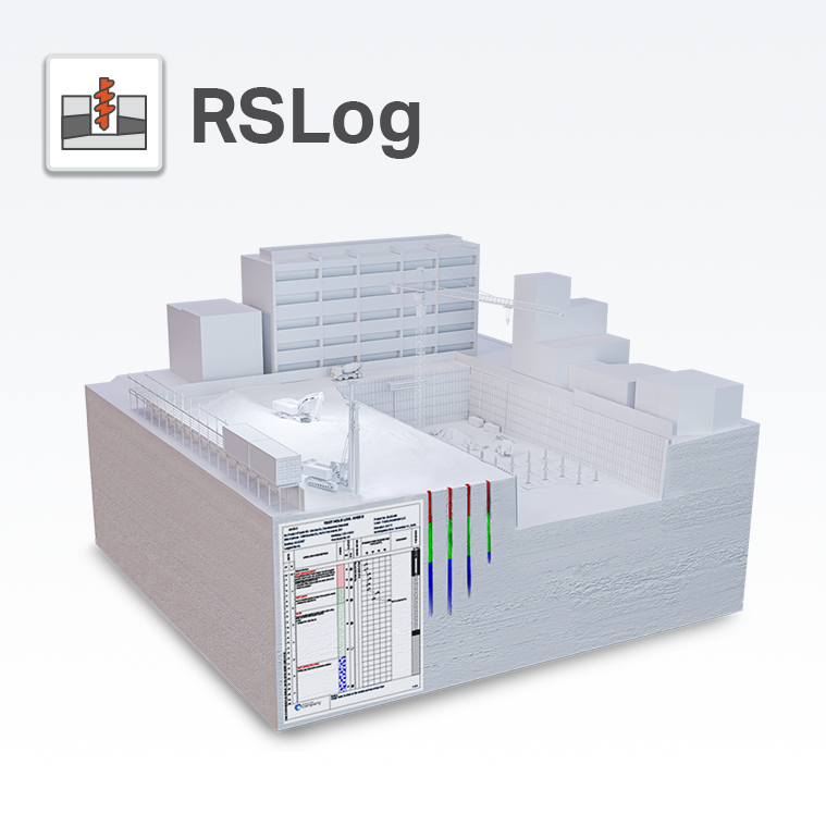
Rocscience suite of programs is RSLog – a cloud-based borehole log management application built to eliminate the manual data entry process. Combined with a template designer, RSLog allows you to easily customize borehole data and match the...
When exploration and mining companies need to evaluate the financial viability and the optimal mine strategy for a deposit, they turn to the industry leading strategic mine planning solution – GEOVIA Whittle™. Companies depend on Whittle to help them...
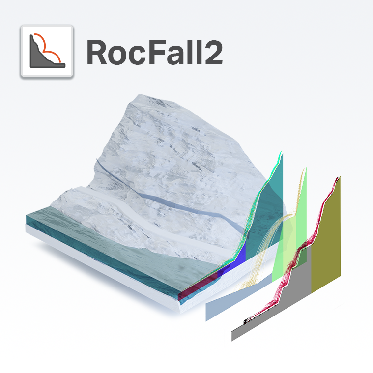
RocFall2 is a 2D statistical analysis program designed to assist with assessment of slopes at risk for rockfalls. Energy, velocity and "bounce height" envelopes for the entire slope are determined by the program, as is the location of rock endpoints...