Slide2 (formerly “Slide”) is a 2D slope stability program for evaluating the safety factor or probability of failure, of circular and non-circular failure surfaces in soil or rock slopes. Slide2 is simple to use, and yet complex models ca...
Created in 2017, Slide3 (formerly “Slide3”) is a new tool that allows geotechnical engineers to calculate the factor of safety of complex 3D slope stability geometries that 2D models cannot fully simulate. Model advanced geometries like landslides,...
Combine geometries and analyses in a single project GeoStudio enables you to combine analyses using different products into a single modeling project, using the results from one as the starting point for another. Multiple geometries, including...
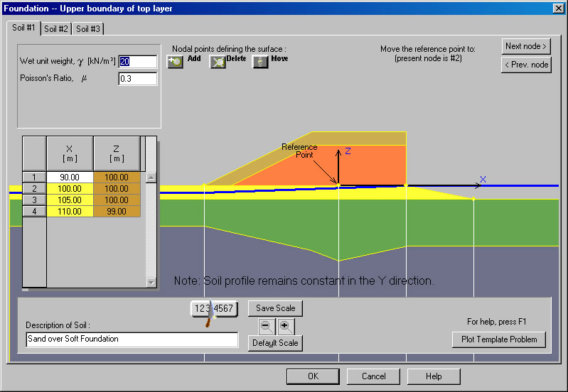
Settle3 (formerly Settle3D) is a three-dimensional program for the analysis of vertical consolidation and settlement under foundations, embankments and surface loads. The program combines the simplicity of one-dimensional analysis with the power and...
A professional grade GIS software development kit (SDK) used by customers in a wide range of industries to develop custom GIS applications or add geospatial functionality to existing products. SDK editions are compiled natively for the Delphi/C++Bui...
Trusted Design Software Receives Major Upgrade SpectraPave software provides pavement design engineers the most powerful tool available for evaluating roadway design options and optimizing pavement performance using Tensar Geogrids. This free progra...
FoSSA (2.0) is an interactive program for assessing stresses and settlements under embankment and footings acting on horizontal ground surfaces.