

EUPALINOS is a feature-rich surveying software which covers all tasks and operations necessary to successfully run a tunneling project.
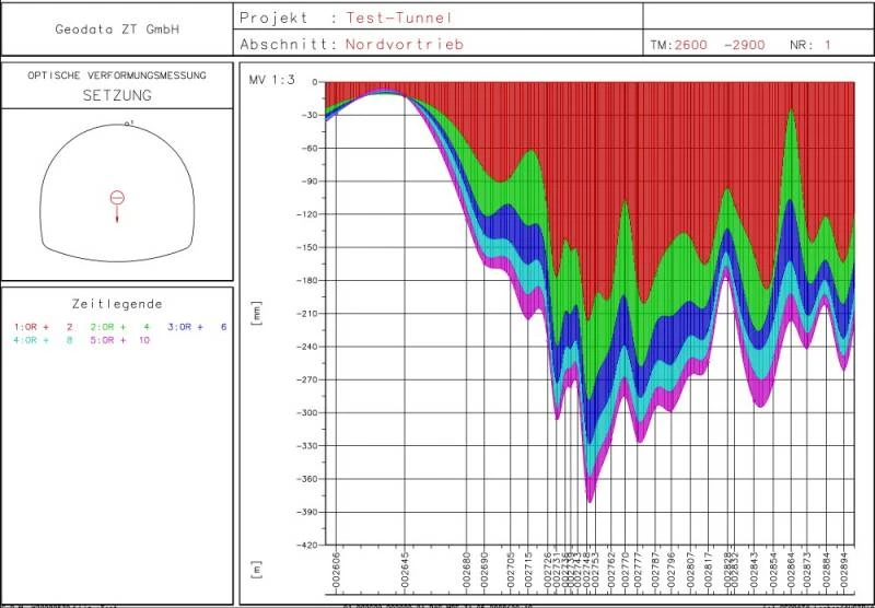
The straightforward user-interface with simple database-management requires only a short period of training while maintaining sophisticated tasks such as the processing of network measurement data, calculation of stake-out data, evaluation and presentation of displacement measurements and many more.
Additionally, modern robotic total stations can be controlled by the software and automatic monitoring of 3D points or surfaces (1D, reflectorless) can be carried out (see GEOROBOT).
EUPALINOS has been successfully used in several hundreds tunneling projects to perform extensive calculations, heading control surveys, stake-out operations and many other operations.