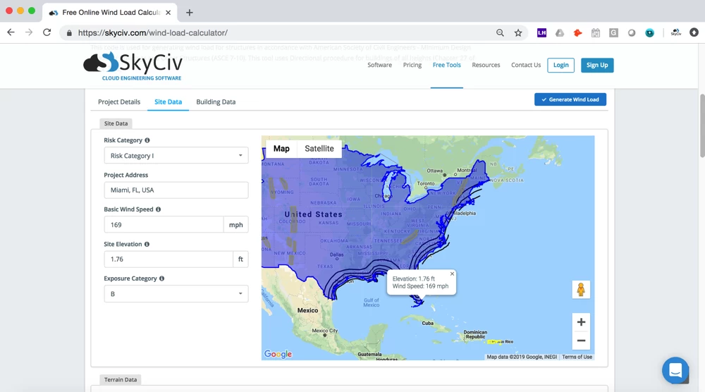
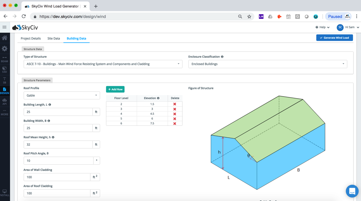
SkyCiv offers a wind speed map that allows engineers to enter in a location (street address, zip code, business location) to get the wind speeds, snow loads, elevation data and design wind pressures, calculated based on ASCE 7-10, AS 1170, NBCC and EN 1991. In summary:
The software also has a paid version, which in addition to calculating the above snow and wind speed by location, can also apply the pressures directly to a Structural Analysis Model. The software will collect the wind speeds based on:
The reporting comes in two PDF versions; summary and detailed. Summary report show the user the input, map, elevation data and the design loads in a clear and concise manner. Need more info? The detailed report shows clear step-by-step calculations for full transparency during the design.


SkyCiv Wind/Snow Load Generator Demo