Are you the owner of this software?
DCOdes aims to provide accurate and up-to-date information on various software products for our visitors.
We value your contribution to the software industry and would be happy to help you claim your listing and ensure that your product
is accurately represented on our platform.
If you represent a software provider company, we will give you access to manage all your company's listings that exist in our database.
All you have to do is: create a free account, claim your software and wait for our approval.


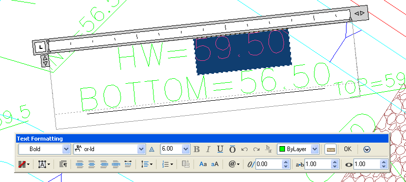
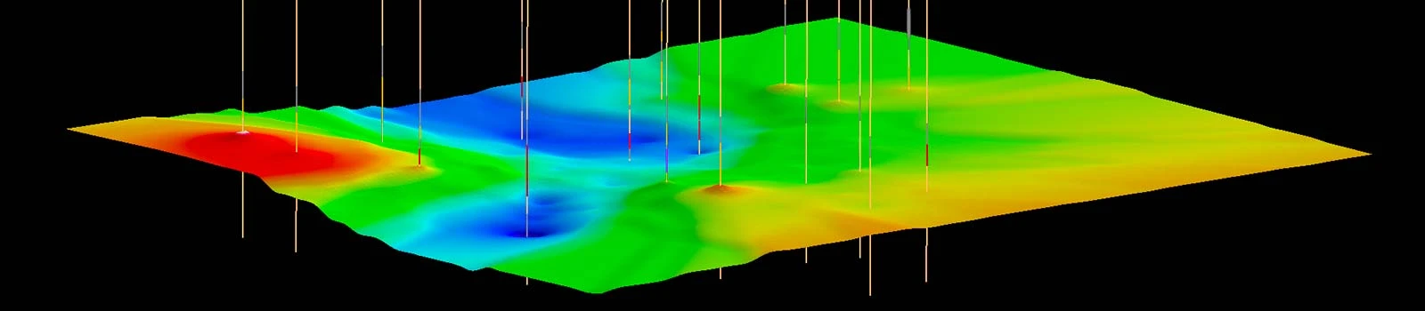
 Carlson Takeoff is a cut/fill volumes and data prep (for layout or machine control) program that can estimate jobs using paper plan digitizing, PDFs, or electronic CAD files Key features include: