ADONIS is Free Finite Element Software for Geo-Engineers. The goal of the ADONIS development is to improve the modeling and computational simulation in geotechnical engineering. ADONIS is an easy-to-use yet powerful geotechnical-engineering tool for...
GTS NX is finite element analysis software for advanced geotechnical analysis of soil and rock deformation and stability, as well as groundwater flow, dynamic vibrations and soil-structure interaction in 2D and 3D.GTS NX is used for analysis, testing...
LOGitEASY's web-based soil logging and boring log software (LOGitEASY eForm) is usable both in the field and in the office for transferring field notes. Once the data is entered into the software, logs can be produced in a variety of templates, incl...
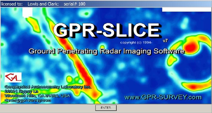
GPR-SLICE V7.0 (1994-2017) is a comprehensive ground penetrating radar imaging software designed for creation of 2D/3D subsurface images for use in a variety of geotechnical, engineering and archaeological applications. GPR-SLICE began developmen...
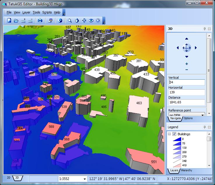
A managed code .NET GIS SDK for developing professional web GIS applications for hosting on Windows, Linux, and macOS servers (including Docker). The SDK is designed and compiled natively for ASP.NET Core and Web Forms, with support for MVC and Razo...
PLAXIS Designer is a 3D conceptual model builder used to significantly reduce model creation times by visualizing, optimizing, and merging engineered earth structures, staged construction and excavation, topology, borehole, piezometer, and field inst...
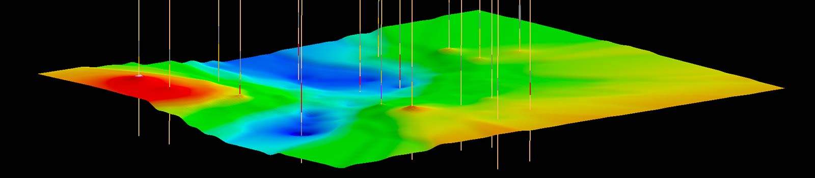
Create and visualize both 2D & 3D geologic models, starting with classification and visualization of borehole logs, creation and editing of cross sections, and generation of 3D geosections and geovolumes.
Vulcan Explorer provides an interactive 3D visualisation and modelling environment to plan drill holes, identify targets and preliminary reserves, and test and validate exploration models. Block models and 3D triangulated surfaces created with Vulcan...
A professional grade GIS software development kit (SDK) used by customers in a wide range of industries to develop custom GIS applications or add geospatial functionality to existing products. SDK editions are compiled natively for the Delphi/C++Bui...
Carlson Takeoff is a cut/fill volumes and data prep (for layout or machine control) program that can estimate jobs using paper plan digitizing, PDFs, or electronic CAD files Key features include: Calculate site cut & fill and topsoilDifferen...
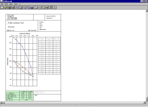
The program GGU-PLATELOAD enables the analysis and presentation of plate loading tests according to DIN 18134, DIN 18134:2010-04 (Draft) or Austrian Standard B 4417.
The forward modelling capabilities of ELFEN provide accurate simulations and representation of geological evolution. This enables a full understanding of your field’s stress, material, deformation and trap history throughout geological time.From basi...
General-purpose desktop GIS software for geospatial data creation, editing, mapping, and analysis, providing the features and tools most GIS users require. Specialized features or customizations can be added as scripted plug-ins. A powerful built-in...
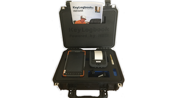
KeyLogbook provides a simple integrated solution for the production of fully compliant driller’s logs. It ensures the capture of essential data at source and eliminates the double handling of data, saving an hour each day and reducing the risk of da...
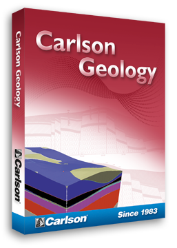
Use Carlson Geology to manage drillhole data, plus calculate strata models, block models, quantities and qualities. The process from importing drillholes, validating the data and modeling the ore to reserve calculations is seamless. For drillhol...