WinGeol is a software application for viewing, editing and analysis of location based data (GIS). WinGeol is available in a free version and non free versions with advanced analysis possibilities (for geological applications). It was developed from earth scientists for earth scientists and all people with similar interests & needs (Geomorphology, Hydrogeology, Tectonic Analysis, Climate Research, 3D Modeling).
Some Highlights:
- Supports vector, raster and database data
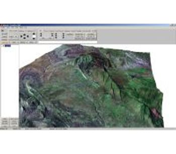
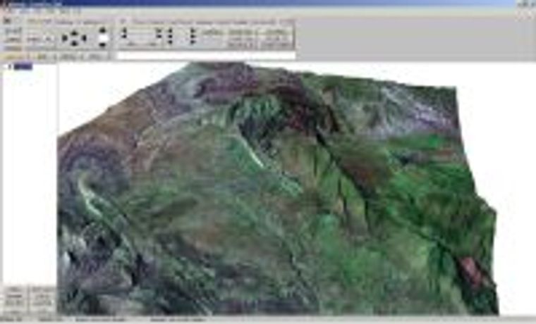
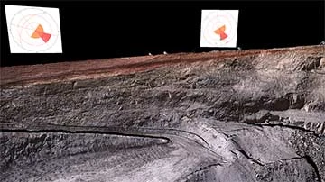
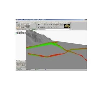
- Viewing: 2D, 3D and profile mode; support for rectangular and polar coordinates
- Full control: WinGeol is not only a viewer like most other software tools in this price segment.
- Easy Handling
- Map and create models using all display modes - helps to keep an overview!
- Raster tools: Raw data import, byteorder and datatype conversion, filter operations, grid calculator for complex operations Interpolation, slope/aspect maps,shaded relief
- Vector tools: Digitizing, elevation tagging, join, split, append of vectors, ...
- Geometry tools: Project data (lat/long - UTM), extraction, shifting, scaling, arithmetic functions, rotation, drape & merge of datasets
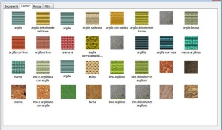
- Database: Usage of dBase files, Access databases, ASCII tables; displaying as text, circle/bubble map, wells, strike/dip or stereoplots
- Project management: Start your work again where you have stopped last time!