user

Version SedTec - Erosion and Sedimentation Numerical Simulation

By TerraMath
Geomorphology

Description

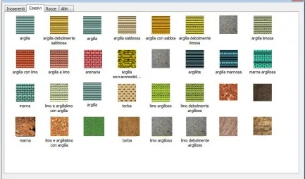
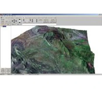
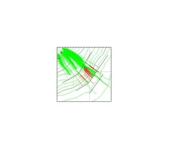
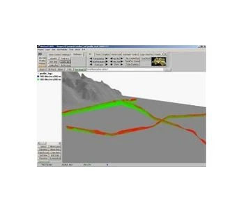
Our software SedTec is integrated in WinGeol so that the whole processes of data preparation and visualization / analysis can be done without complicated and error prone import / export operations. To compare simulation results with reality virtual wells can be generated and profiles can be compared with section images (eg. seismic). As the in between calculation results are saved, the whole simulation sequence can be reviewed later.
 

Applications:

  • Reconstruction of sedimentary sequences
  • Study the influence of tectonic on geomorphology
  • Climate change
  • Influence of rock properties on amount and location of erosion and deposition
  • More realistic input models for groundwater simulation (continuous grain size variation)


Specifications

Licence:
Commercial
Provider:
TerraMath
Platforms:
Desktop - Windows XP, Desktop - Windows 7

Tags

sedimentation numerical simulation climate change groundwater modeling process data visualization erosion simulation seismic numerical modeling geomorphology data visualization data analysis

Gallery